


Geospatial at a Crossroad
Which direction will it take? My insights from a industry disruptering conference in the Canadian Rockies.

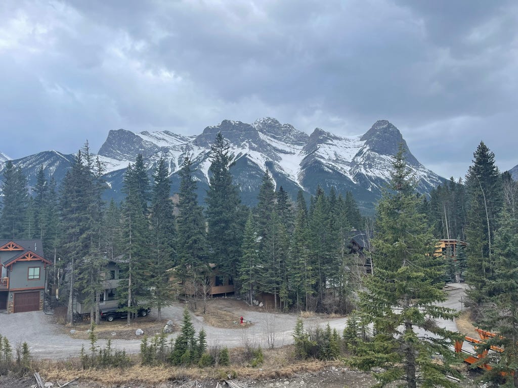
Last week, I had the extraordinary opportunity to spend three days in the Canadian Rockies alongside many of the geospatial industry’s leading innovators at the NORTH51 Conference. The enchanting surroundings served as a constant reminder of our community’s understanding of the power of geospatial technology. It underscored a profound truth: our planet harbors places that transcend human ambition.
My perspective on geospatial technology is comprehensive, covering both vector and raster data. It includes Geographic Information Systems (GIS), Earth Observation (EO), and location intelligence. Additionally, my insights are shaped by my experience as a former executive at Esri, where my journey in the geospatial field began in 1986.
First, I want to extend my appreciation to the conference moderator, Bonny McClain🌍. Bonny is a refreshing presence, offering valuable perspective and insight into the geospatial industry. Her expertise in quantitative storytelling, enriched by a varied background, facilitated a seamless and enjoyable event experience! Although I was familiar with Bonny through the Geospatial Connections and Geospatial Innovation LinkedIn groups, meeting her in person for the first time was a delight. I highly recommend her books and encourage attending any event she participates in.
From Competition to Connection: Geospatial Technologies and the Path to Climate Justice
The opening keynote speaker, Brianna R. Pagán, PhD, captivated the audience with a presentation that delved into climate change through the prisms of colonialism and capitalism. While it's widely recognized that these factors have significantly contributed to the current climate crisis, Dr. Pagán's perspective was refreshing and offered innovative ways to think about sustainable and equitable solutions. She emphasized to the EO community the importance of making raw satellite imagery freely accessible to benefit the planet and help level the playing field for underprivileged communities. The discussion of open-source geospatial data for both raster and vector data is a hot topic, making Dr. Pagán's stance particularly thought-provoking and fostering a platform for diverse opinions.
Evolution for Diverse Markets
The opening panel discussion delved into innovations in sectors like risk management, insurance, and infrastructure. As the Geographic Information Systems (GIS) market faces stagnation due to entrenched enterprise systems, there's a burgeoning need for innovation across technology, business strategies, marketing, and partnerships — particularly for exploring new markets and applications. Such innovations also promise to benefit organizations excluded from geospatial resources due to escalating costs.
Earth Observation - Monitoring from Space and What is its Future
The next two presentations, Scott Herman from Maxar and John-Isaac Clark from Array Labs, engaged the audience in a compelling discussion about the remarkable potential of specialized satellite capabilities, set against the ongoing challenge of broadening their adoption beyond defense and intelligence sectors. They also sparked an insightful debate on which entities should be responsible for enlightening the market about the value of Earth Observation (EO) products, with a suggestion (by me) that EO companies and, more specifically, their Marketing Executives take the lead.
Addressing methane emissions with geospatial data from MethaneAIR and MethaneSAT
The highlight for me was Dr. Steven Wofsy from Harvard, discussing his groundbreaking work on methane detection systems using satellites and jet planes. Words fall short of doing justice to the complexity and significance of his research. For a more comprehensive understanding, I highly recommend visiting Methanesat.org.
Geospatial and Funding. Understanding the World of Venture Capital
The day concluded with a return to the topic of funding strategies in the geospatial market, explored through a panel discussion and a fireside chat. My key insight is that while Venture Capital funding represents one avenue for securing finances, it's imperative to delve into additional methods for funding and operating a geospatial enterprise.
Public or Private: The Future of Global Positioning
Sean Gorman, CEO of Zephr.xyz delivered a highly insightful presentation exploring the fast-paced evolution of GPS technology. Often taken for granted, GPS's vulnerability was highlighted by recent jamming incidents in Eastern Europe by Russia, showcasing the dangers of relying on these out-of-date assumptions. Sean and his team are shedding light on this critical yet underappreciated aspect of our geospatial community, introducing new technologies to mitigate such risks.
Redefining Horizons: The Power of Modern Mapping
I had the privilege of participating in the much-anticipated Modern Mapping panel, and the experience was nothing short of exhilarating. Our discussion spanned an impressive array of topics including Augmented Reality (AR), Virtual Reality (VR), 3D mapping, temporal aspects, User Interface/User Experience (UI/UX) design, mobile and web mapping, cartography, consumer mapping, professional GIS maps, and the intricacies of raster/vector data.
I was representing Felt—an online mapping and GIS platform that’s not only easy to use but also fosters collaboration through its modern and delightful UI/UX. Uniquely, Felt blurs the traditional boundaries between Earth Observation (EO) and GIS data/capabilities, effectively merging these two previously distinct markets. For a refreshing take on mapping and GIS, I highly recommend checking out Felt.
Innovative Thinking, Unconventional Organizations
The concluding panel captivated the audience with a lively discussion on cultivating an organization that fosters and celebrates innovation. Delving into collaborative processes, the importance of leadership, and the value of diversity, the session was engaging and insightful. Diversity and unconventional thinking will be crucial as we navigate the changing world of (geospatial) technology.
The Evolution of Consumer Geospatial Tech in Outdoor Adventures
We concluded our session by exploring how geospatial data and technology are pivotal to the success and profitability of consumer applications, particularly those developed by Outside Interactive. These technologies make recreational opportunities more accessible to the public but also impose costs on individuals and organizations responsible for the stewardship of our private lands. (Note: I served on the board of Southern California Mountains Foundation.)
The Audience is the Event
The highlight of the event was the engaging discussions that unfolded day and night about the challenging issues the geospatial industry currently faces, including:
The future of GIS and EO: Will they continue as separate entities?
Addressing climate change: How can we tackle it without discussing its causes?
Accessibility: What steps can we take to make crucial technology available to all?
Innovation vs. enterprise systems: Are current geospatial systems hindering innovation?
Reimagining mapping: How can we transcend traditional boundaries to create immersive experiences that benefit humanity?
Ethical responsibility: Does the industry have a duty to democratize access to geospatial data?
These questions don't have straightforward answers. Instead, they encourage us to dive deeper into the discussion, think more critically, and yes, drive innovation!
Let’s Work Together
My background in the technology sector offers a distinctive viewpoint that assists businesses in developing, commercializing, marketing, and selling solutions that not only enhance their profitability but also foster customer trust. I invite you to connect with me to explore opportunities to collaborate toward shaping a brighter geospatial future.