

A digital geospatial twin simplifies infrastructure management, enhances cost-efficiency, and improves safety measures. Organizations implementing geospatial digital twins report up to tenfold savings on their yearly expenditures. Moreover, remote access to maps, documents, and reports facilitates quicker, more informed decision-making in emergencies, ensuring your infrastructure is well-prepared for future challenges.
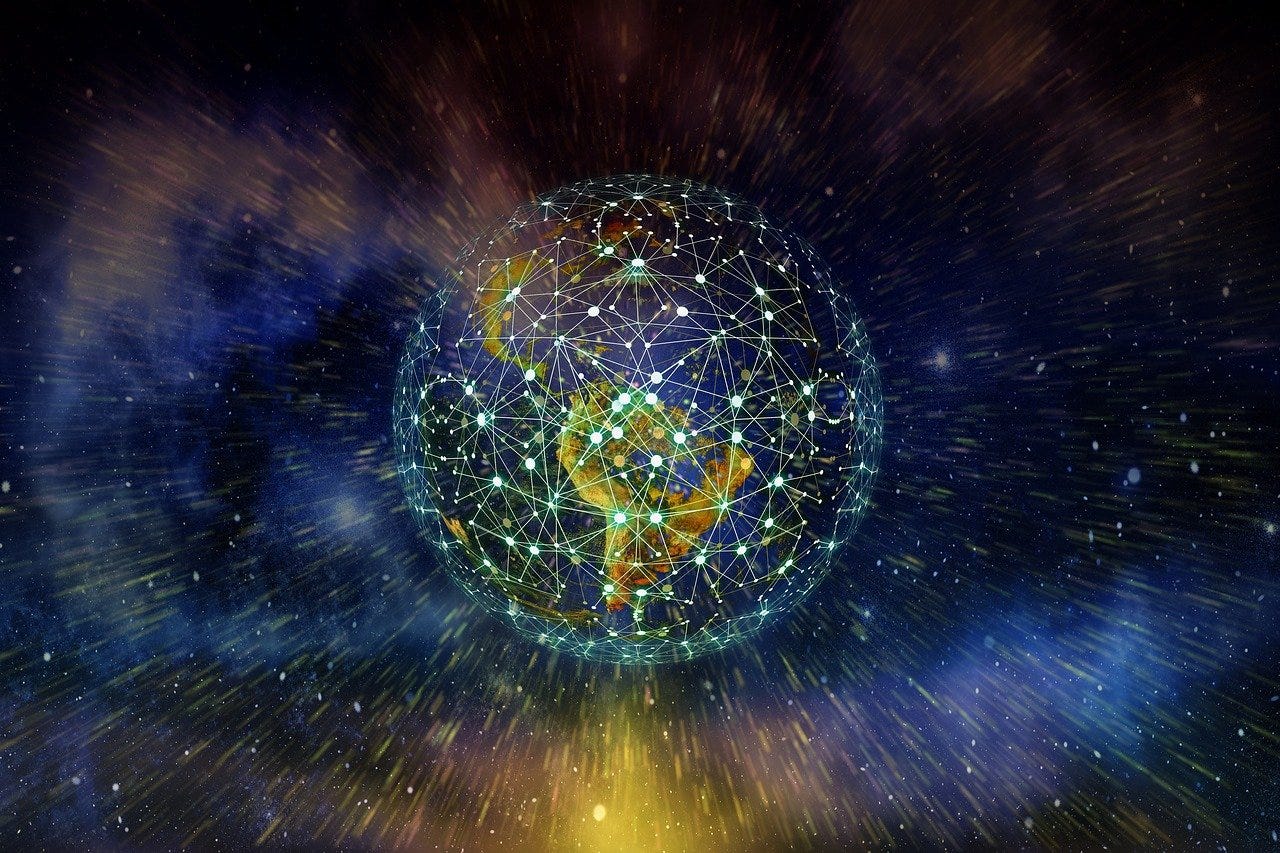
The concept of digital twins is garnering significant attention in scholarly discussions, thanks to technological advancements that have made their development increasingly feasible. The convergence of robotics, big data analytics, and machine learning has made it both technologically and economically viable to create digital counterparts of physical systems. By constructing virtual models of physical assets, organizations can engage in scenario planning and conduct tests using data gathered from the growing array of available sensors. Furthermore, with the proliferation of IoT, IoB (Internet of Bodies), edge computing, and other data collection technologies, the creation of digital twins is now accessible to a broad range of industries.
My fascination centers on geospatial digital twins, which enrich models with geospatial data and connections. Understanding an asset's location is crucial, but equally important is knowing the timing and conditions under which data was collected. Developing a truly geospatially aware digital twin requires refinement through the analysis of the vast amount of collected data, integrating this data through geospatial nearness and connectivity. The creation and utilization of such digital twins promise to be revolutionary.
Transforming Industries
Nearly every sector possesses data or assets that are impacted by geographical location. For certain industries, the significance of location is paramount. Here, we present examples of such industries, offering insights into the vast potential of geospatial digital twins.
Disaster Management
The challenges posed by pandemics, climate change, and population growth necessitate swift responses to disasters. The adoption of digital twins will revolutionize our approach to constructing smarter infrastructure, such as facilities, dams, utility networks, and our strategies for emergency response and zoning.
With viruses, fires, floods, and droughts increasingly becoming our new reality, the question arises: How can governments and organizations effectively respond? Devising optimal responses is nearly impossible without a comprehensive understanding of all influencing factors. The critical element is understanding the interplay between location and various elements. As we gather the necessary data, the imperative now is to utilize it effectively.
Insurance
Risk management involves a deep understanding of the potential hazards at a specific location. How can we create a digital twin of an insured power plant to effectively prepare for and respond to catastrophic wildfires or terrorist threats? What security measures are necessary for a museum to qualify for insuring its displayed art? By analyzing the precise location of valuable assets in relation to various risk factors, insurance companies are at the forefront of revolutionizing risk assessment strategies. The integration of geospatial digital twins combines geographic intelligence with live monitoring data to yield even more impactful insights.
Utilities
For decades, utilities have transitioned from paper maps to automating their networks. The construction, management, and storage of assets in a geospatial format have simplified the visualization and mapping of utility networks. However, advancements in technology now enable the creation of a true digital twin, modeling the extensive data that impacts a network. Elements such as weather conditions, terrain slope, vegetation, and construction activities can now be precisely integrated and utilized for scenario planning.
Petroleum
Transforming oil into gas is a multifaceted operation, involving assets spread across vast distances, yet intricately linked through the supply chain. Implementing a digital twin enhances accuracy and speed in processing, while proactively identifying potential issues. Imagine being able to precisely determine the optimal time and location for pipeline maintenance before any malfunctions occur, or pinpointing vulnerable points along its route. And with advanced satellite technology, methane leaks can quickly be detected and mitigated.
Defense and Intelligence
GEOINT centers on the critical link between geography and intelligence—a connection that, while apparent, remains largely underdeveloped. The swift expansion of sensing technologies, the widespread connectivity of the internet, and evolving geopolitical dynamics necessitate the creation of geospatial digital twins. Indeed, constructing an accurate battlefield model is inconceivable without incorporating a geospatial element.
Health
Global pandemics affect us all, yet they pose the greatest challenges to the healthcare sector. The adoption of digital twins enables a more agile reconfiguration of resources and physical infrastructure. Questions such as, "Where are key assets located in relation to doctors' needs?" and "How can we rearrange assets to adapt to changing conditions?" become simpler to address.
Moreover, environmental factors significantly influence health outcomes. By modeling these factors, we can make more informed decisions. For instance, could redesigning buildings reduce depression rates? Or could altering transportation networks decrease obesity by improving access to healthy foods? Currently, our approach relies on analyzing historical data and making educated guesses. The implementation of a smart, dynamic digital twin for our systems removes much of the guesswork and politics from decision-making, leading to more effective and efficient outcomes.
What is Next?
The development of foundational geospatial data infrastructure is a treasure trove for IT departments aiming to develop more intelligent models or digital twins of their operations. However, this valuable geospatial data is frequently locked within GIS departments or proprietary databases and needs to be converted into actionable insights. By merging geospatial GIS data with the vast inputs from satellites, sensors, and other devices, we can gain a profound understanding of complex systems. We may get to the point where the signal becomes the system, allowing us to precisely manage our effect on our world's complex systems. This understanding paves the way for intelligent decisions, marking the advent of Smart Cities, Smart Conservation, Smart Energy, Smart Campuses, and other innovative Smart systems that leverage geospatial insights in ways we've yet to imagine.
A handful of organizations are now enabling small to medium-sized entities to create digital twins of their infrastructure. This process involves collecting, field-verifying, and inputting data into an online platform, allowing organizations to concentrate on their core mission while seamlessly integrating a digital twin. The true value of digital twins becomes apparent as they become more accessible to organizations. Geospatial digital twins represent a pivotal step towards achieving this transformative vision.