
Geospatial Disaster
Modernizing the geospatial industry is critical.

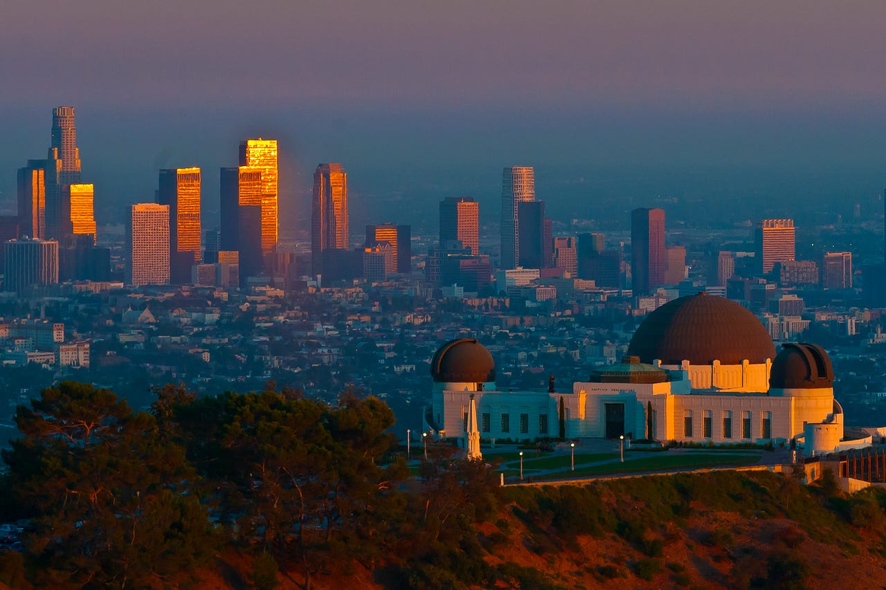
Watching the devastating Southern California fires has left me overwhelmed with both sadness and frustration. Sadness for the countless lives permanently changed by this inferno, knowing that recovery will take decades. Frustration at the persistent unwillingness of society and governments to confront the undeniable reality of climate change and its existential threat to our planet.
When I studied Geography at UCLA in the 1980s, the link between rising greenhouse gas emissions and catastrophic climate change was already well-established. Back then, there was no debate—just a clear understanding of the science. The debate only surfaced later, fueled by petroleum companies seeking to protect their profits at the expense of the planet.
During that time, my career shifted toward technology. I immersed myself in building applications using tools like GIS and databases, convinced they could counteract the influence of Big Oil and support sustainable solutions. I joined ESRI in its early days when it was a team of about 100 passionate individuals united by the belief that technology could guide us toward a brighter, safer future. For years, I worked alongside brilliant minds, driven by the hope that our innovations could make a difference.
But over time, my optimism dimmed. The tools we developed were increasingly used by the very industries we sought to challenge while those genuinely fighting for the planet struggled to gain traction. Ultimately, however, this disillusionment wasn’t the primary reason I left. I left because the technology industry—including ESRI—lost its way. Once committed to driving innovation, it became complacent, content to generate billions in revenue from outdated “enterprise systems” rather than pushing boundaries.
Today, we are witnessing the consequences of that stagnation—whether rooted in indifference or greed, the result is the same. The fires raging across Southern California are a stark reminder of what is at stake. We need a drastic change to catch up to the realities of today’s world. Here are a few ideas to get the conversation going.
Integrate Siloed Systems
In today's climate-driven reality, urban and wildfire firefighters must work together seamlessly. The LA Fires have shown that wildfire expertise—spanning skills, knowledge, and protocols—is essential for effectively managing all types of fires. Tools like GIS and geospatial resources, widely utilized by CalFire, proved critical in the early hours of incidents like the Palisades and Eaton Fires. Expertise in evacuations, structural protection, and leveraging local knowledge is equally vital when urban areas are at risk. In addition, other infrastructure services like water, power, roads, sewer, etc, are also intractably intertwined with an effective response.
Similarly, GIS tools, such as vector-based and map-centric systems, must be closely integrated with satellite imagery, aerial data, and sensor technologies to enhance response strategies and decision-making.
Data is Critical
In an emergency, accurate and timely data—covering where, who, what, and when—is critical. Whether it's coordinating evacuations, allocating resources, managing water pressure, rerouting power, anticipating downstream effects, sending notifications, or planning responses, reliable data is essential. Yet, while much of this information is collected, it often remains inaccessible or limited to those with financial resources. To address this, we need a centralized system that can collect, share, and distribute data efficiently during emergencies, ensuring it’s available to everyone who needs it.
Geospatial is Stuck
Disasters are inherently a geospatial challenge, yet the systems designed to manage these events remain outdated, static, and constrained by an antiquated paradigm. To address this, we need dynamic, flexible geospatial systems capable of understanding the world as it was, as it is, and as it will be. Modernizing GIS by integrating it deeply with relevant data across the technology stack can revolutionize how we manage our environment and adapt to a changing climate. A forward-thinking approach can pave the way for such advancements as smarter urban design, modernized utility infrastructure, decentralized planning, and innovative agricultural models—transforming how we coexist with and support the natural world.
GIS, Geospatial Technology, Earth Observation, Location Intelligence—no matter what you call it, this field will play a pivotal role in reshaping our connection with nature. It holds the power to deepen our understanding of humanity’s place within a greater, living system: Earth. Just as our bodies are composed of countless living organisms working together to maintain balance and health, Earth, too, strives to sustain equilibrium. By aligning ourselves with this natural harmony, we can move beyond narrow, short-sighted perspectives and unlock a future where we truly thrive.