

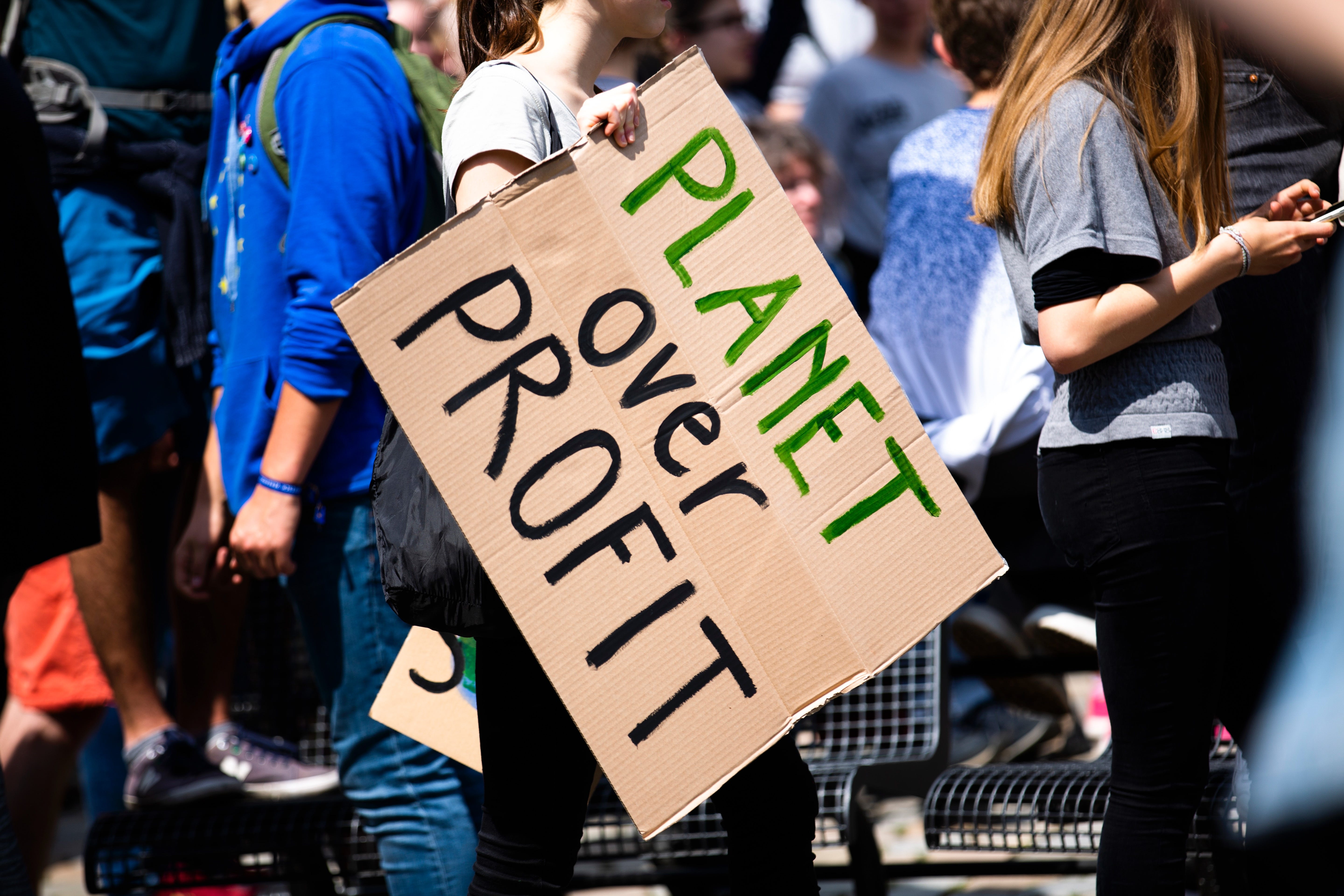
Climate Change is quickly becoming a crisis. We need Urban Planners, Geographers, Policy Makers, and others to redesign our cities as we see a mass migration from uninhabitable areas to livable locations.
Which cities will grow?
Do we need new cities in regions that will become optimal for living?
Just look at Phoenix as an example.
I thought GIS & Geospatial would help mitigate this pending disaster. In the early 1980s, we learned about Global Warming in college (UCLA). GIS and other technologies were designed (I thought) to help us understand the problem and find better solutions.
Today, the leading groups (in terms of money) of GIS/Geospatial users globally are utilities, the federal gov’t (defense, 3 letter agencies), and petroleum/resource extraction. This is especially clear when you add in the contractors working for these groups
Looking back, I find it hard to think of a major effect of GIS on global problems. I would love to learn about such projects.
Please comment below and share how GIS has/is helping solve any major issue/problem.